

Alabama looked different than I expected. I’ve been to all of the other Southern states save Kentucky, and I thought Alabama would be flatter and dominated by farm crops. Blame digital map apps. If you are looking up where you are going on a paper map you can’t help but see that the Talladega National Forest is like a green smoothie spilled across the state. With Google Maps I zoom in on where I am going and if I don’t take the time to zoom out or use the other features, I make a mental map that is mostly flat.
I also expected more water. A small part of Alabama touches the gulf shore at Mobile, but for the most part Alabama receives its water from the sky. Far from the Mississippi River, the state and its largest communities are not dominated by rivers in the way so many other places are in the US.
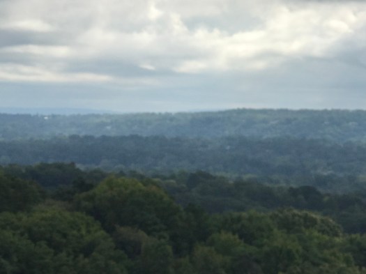
There are more hills than I expected and the forests are the same mix of pine and hardwood that cover the Appalachians. We came for the civil rights history but these woods made me wonder about the indigenous people who were here even earlier. The Cherokees, Choctaws, Creeks, and Chickasaws, as well as the Alabama-Coushattas and the Yuchis hunted, danced and walked in these woods.
Our adventure is a civil rights crawl. Our plan is to drive our rental car to Montgomery-Tuskegee-Selma-Marion-Greensboro and Birmingham. Phyllis, Chantay and I have done internet research and we are also using the “Alabama Civil Rights Museum Trail” as a guide. We also look forward to eating good food and meeting friendly folks from ‘Bama all along the way.
